For the first time, a simultaneous research operation has been conducted on two levels, generating new data and covering approximately 400 sq. km of bathymetry in the historic Saronic Gulf.

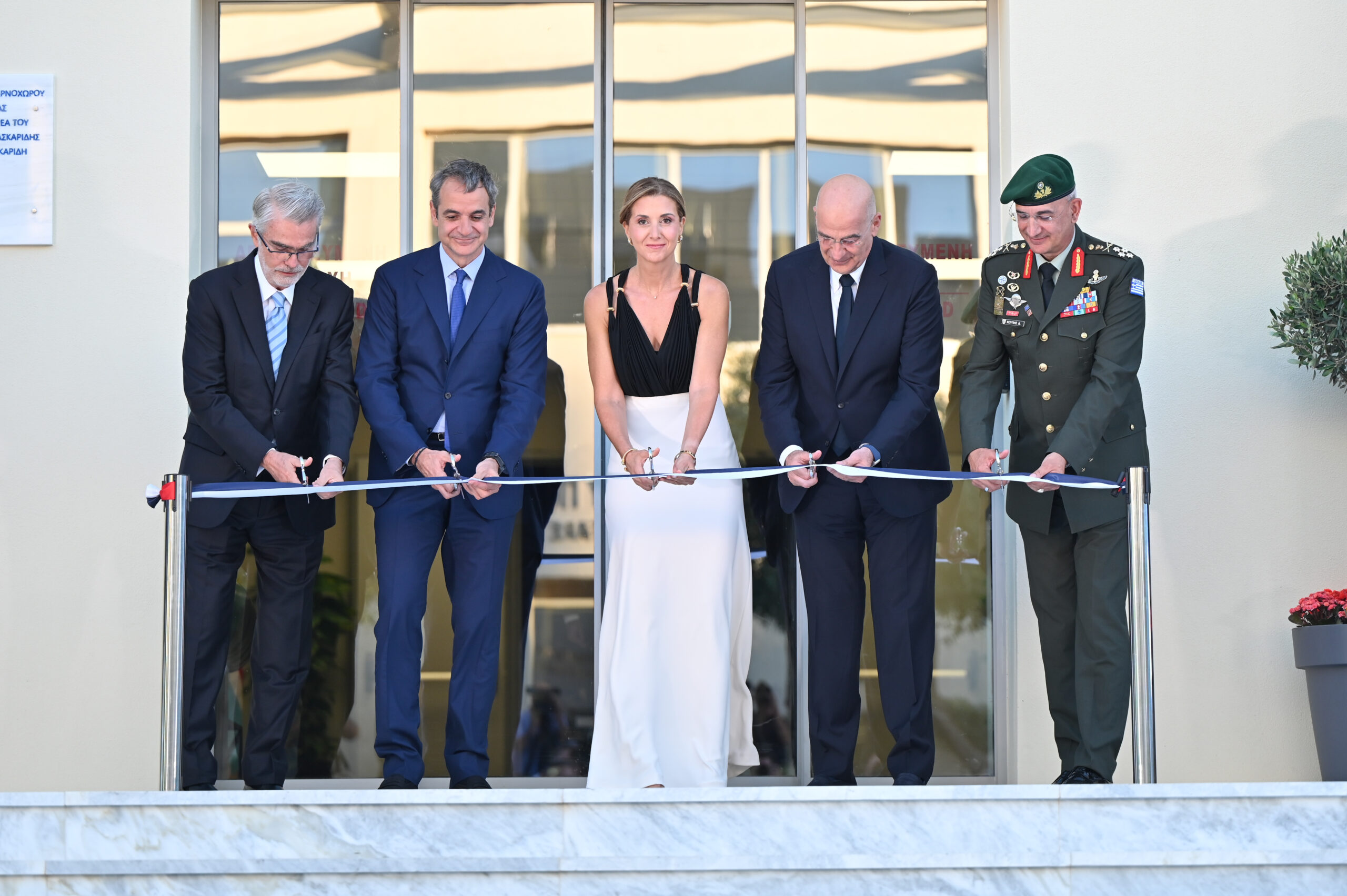
The 10-day expedition, which began on 2 February 2026 from the area of Methana, marked the first joint operational and research collaboration between the vessel “Typhoon” of the Athanasios C. Laskaridis Charitable Foundation, the Oceanus Lab of the University of Patras, and the research vessel R/V “AEGAEO” of the Hellenic Centre for Marine Research (HCMR), within the framework of the Saronicos Project. The aim of the programme is to decode the seabed of the Saronic Gulf through the collection of critical scientific data and to strengthen the protection and restoration of the Gulf.
The research
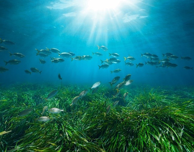
Scientists encountered images of rare beauty in the depths of the Saronic Gulf during the Saronicos Project expedition.
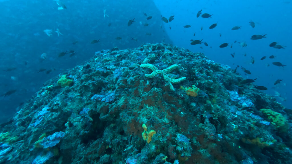
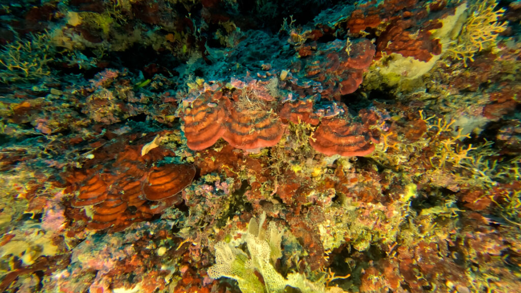
The Foundation’s modern 72-metre Norwegian-built vessel “Typhoon”, in collaboration with the Oceanus Lab of the University of Patras, carried out surveys of benthic ecosystems near the Methana volcano using a Remotely Operated Vehicle (ROV). The mission focused on the submarine volcanic field of Pausanias and selected volcanic cones at depths of 65–180 m, documenting significant volcanic structures as well as highly biodiverse benthic ecosystems, including priority habitats such as coralline algae formations. At the same time, ultra-high-resolution video footage was collected to enable precise classification of marine organisms.
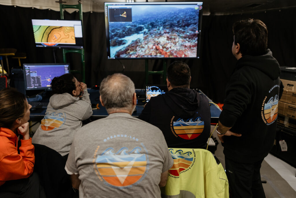
As Professor and Director of the Oceanus Lab, Georgios Papatheodorou, noted: “This first research mission in the Saronic Gulf led to the mapping of impressive ecosystems developed on hard seabed substrates, forming a valuable scientific database. This database will now be available for comparison with similar ecosystems in the northern Saronic, which are under severe anthropogenic environmental pressures – it was indeed an excellent beginning.”
At the same time, the research vessel R/V “AEGAEO” of HCMR studied the Gulf’s deep basins – natural ‘traps’ where the human footprint accumulates over time – providing important data for assessing the environmental status of largely unmapped areas of the Saronic.
According to Mr Dimitris Sakellariou (HCMR), during the ten-day cruise of R/V “AEGAEO” an extensive collection of new scientific data was carried out, including the mapping of approximately 350–400 square kilometres of bathymetry, which revealed impressive and previously unknown submarine relief. In parallel, nearly 580 kilometres of seismic profiles were recorded, bringing to light palaeo-lakes and palaeo-shorelines from periods of low sea level, as well as submarine landslides and active faults that had not previously been identified. As Mr Sakellariou stated: “We still have much to learn about the Greek seas.”
The combined operational and research action of the two vessels clearly demonstrates a rare collaboration between science, private funding and public research infrastructure, aiming not only at mapping the emblematic Saronic Gulf but also at shaping practical solutions for its restoration and protection, creating a model for environmental management.
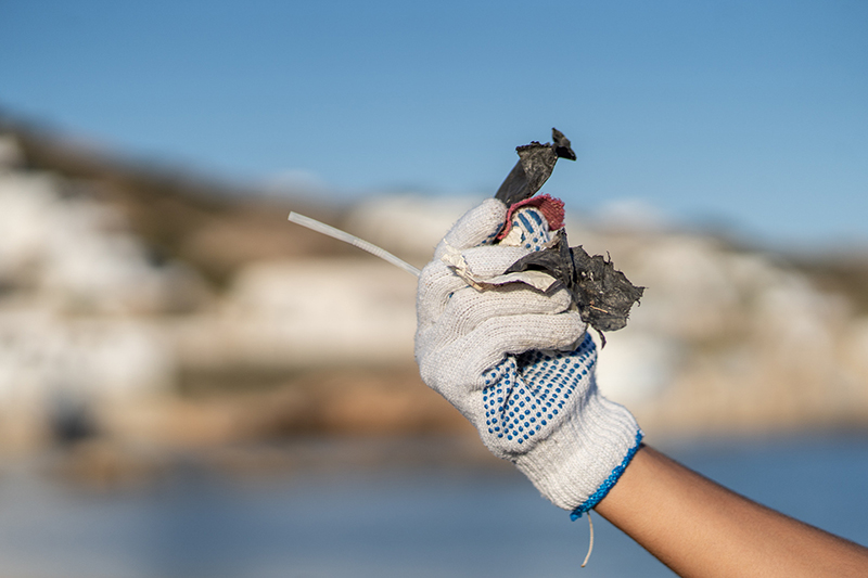
It is noted that the permanent crew of the vessel “Typhoon”, in cooperation with Foundation staff, carried out clean-up operations on inaccessible coastlines, while educational programmes were also implemented in local primary schools, with the participation of more than 150 pupils.